From the intersection at Hwy. 64 and Hwy. 155, it's about three miles of rolling hills and one wall of work between you and the top of Mount Nebo. Rising 1,350 feet, it's a very challenging ascent with several sharp switchbacks.
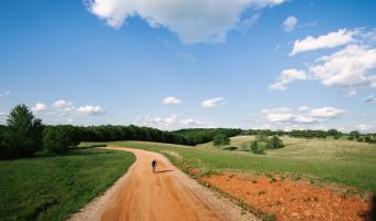
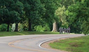
This easy-to-moderate loop can stretch 3-4 days and nearly 200 miles if you want, or you can shorten the loop to a day or two and still have a great ride with tons of fun stops and scenery along the way.