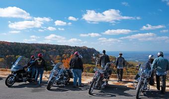
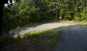
From the intersection at Hwy. 64 and Hwy. 155, it's about three miles of rolling hills and one wall of work between you and the top of Mount Nebo. Rising 1,350 feet, it's a very challenging ascent with several sharp switchbacks.
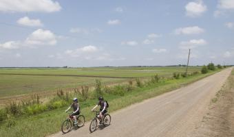
Bordered by two scenic byways - Crowley's Ridge Parkway and the Great River Road - this route is used for the annual Tour duh Sunken Lands Cultural Bike Ride in November
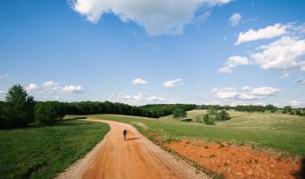
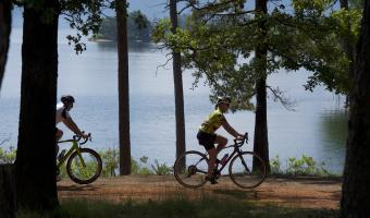
This moderate ride allows you to stop and camp at four great Arkansas State Parks. At its max, the loop is more than 200 miles and takes you by Lake Ouachita, Lake Greeson, DeGray Lake and Lake Hamilton.