Explore the outdoors in south Arkansas
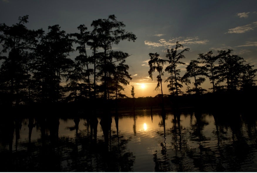
The southern region of Arkansas offers a range of epic lakes, rivers and bayous to explore. Here are a few to keep on your radar!
Bayou Bartholomew
Bayou Bartholomew holds the prestigious title of being the world's longest bayou. It cuts across Ashley County creating four oxbow lakes, Enterprise, Grampus, Wallace and Wilson, before emptying into the Ouachita River. Over 100 species of fish have been documented in Bayou Bartholomew, making it the second most diverse stream in North America.
Felsenthal National Wildlife Refuge
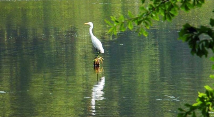
This wildlife refuge is located around five miles west of Crossett. Established in 1975, it is crisscrossed by a system of lakes, rivers, creeks, bayous and sloughs. These water resources are dominated by the Ouachita and Saline Rivers and the Felsenthal Pool. Primarily the refuge was established for wintering waterfowl habitat, endangered species, and outdoor recreation. But wildlife is key. Fishing is available year round and sport fishing is a top activity. Hunting is also a draw and is managed via quota hunts of white-tailed deer and turkey. The refuge lies within the Mississippi Flyway so the potential for birding is big. Hundreds of species of birds are known to nest in the area. One famous one is the endangered Red-cockaded woodpecker and the refuge has the highest density of this species in the state.

Ouachita River
This epic river runs for 600 miles from the Ouachita Mountains to Louisiana. It begins in western Arkansas at the base of Rich Mountain, the state's second highest peak. Its upper section flows freely through the Ouachita Mountains into the western end of Lake Ouachita, the largest lake in Arkansas. Below Lake Ouachita, the river continues through the Ouachita Mountains, though two dams interrupt its flow near Hot Springs to form lakes Hamilton and Catherine. Below Lake Catherine, the stream travels south past Arkadelphia before leaving the Ouachita Mountain region. Camden, a town known for its Civil War history, lies on the river's path. Before crossing the state's southern border, the stream passes near the towns of Smackover and El Dorado, key sites in southern Arkansas' oil history, and through the Felsenthal National Wildlife Refuge east of Crossett.

Saline River
This is one of the last free flowing rivers in the Ouachita River Basin. The river empties into the Ouachita in the Felsenthal National Wildlife Refuge and offers fine fishing, scenery and floating.
White Oak Lake
This lake ranks second in size among the lakes built by the Arkansas Game and Fish Commission. Though totaling 2,667 acres, Ark. 347 divides it into an upper lake and lower lake. On the upper lake is White Oak Lake State Park. Along with great fishing, the state park has a marina with boat rentals, a visitor center, hiking trails and a mountain bike trail. Poison Springs Battleground State Park is also nearby, less than 10 miles away.

Lake Columbia
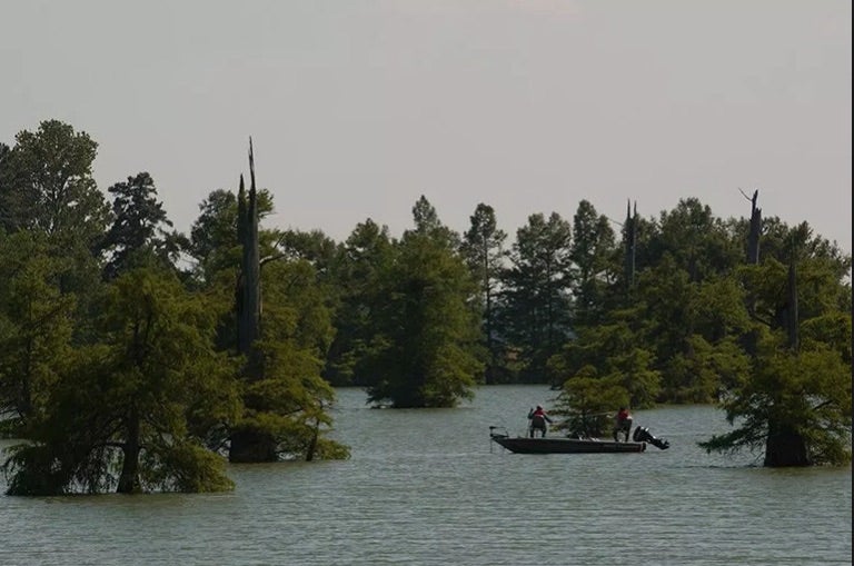
Lake Columbia is a 3,000-acre lake less than 10 miles from Magnolia. This Arkansas Game and Fish Commission lake has three concrete boat ramps you can launch from. The lake is divided into four zones and flooded timber covers about half the lake. Largemouth bass are the lake's main draw.
