Finding Arkansas' Waterfalls
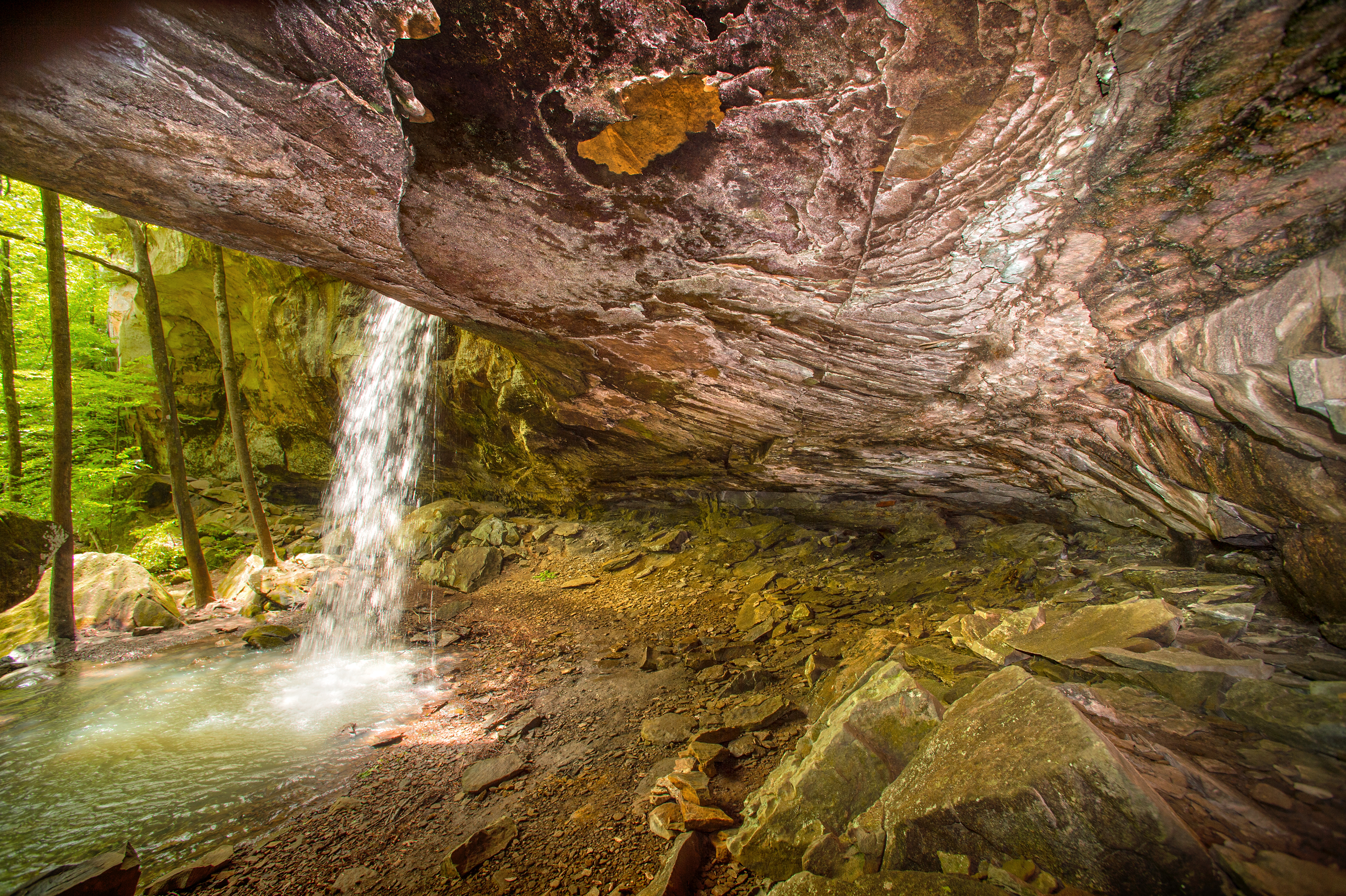
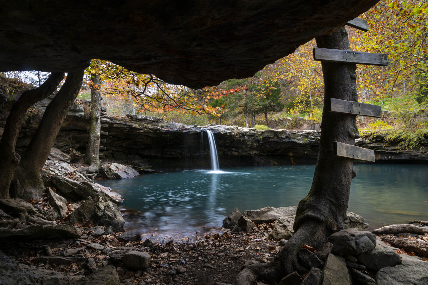
Few things command attention like a waterfall in motion. Across Arkansas, waterfalls cut through forested hillsides and rocky bluffs, offering a payoff that’s equal parts scenic and sensory. The sound, the mist, the moment you round a bend in the trail and find water spilling over stone—it never gets old.
Some are easy to reach, others take more grit and trail time—but all are worth it. From roadside cascades to remote wilderness waterfalls, each one brings a sense of discovery.
So, lace up your boots and grab your camera. Below is a round-up of popular waterfalls, along with tips on where to stay if you decide to chase more than one.
Directions to some of The Natural State’s prettiest waterfalls:
Situated in the Ouachita National Forest near Mena, this waterfall features a series of cascades culminating in inviting swimming holes, making it a favorite among visitors.
Directions: From Hot Springs, head west on U.S. 70 to Glenwood, then continue to Salem. Turn right (west) onto AR 84 to Langley.Head north on AR 369, where signs will direct you to the falls.
Stay nearby: About 29 miles away, Mountain Harbor Resort and Spa on Lake Ouachita offers cozy cabins, lodge rooms, and lakeside dining—perfect for relaxing after a day of chasing waterfalls in the Ouachita National Forest.
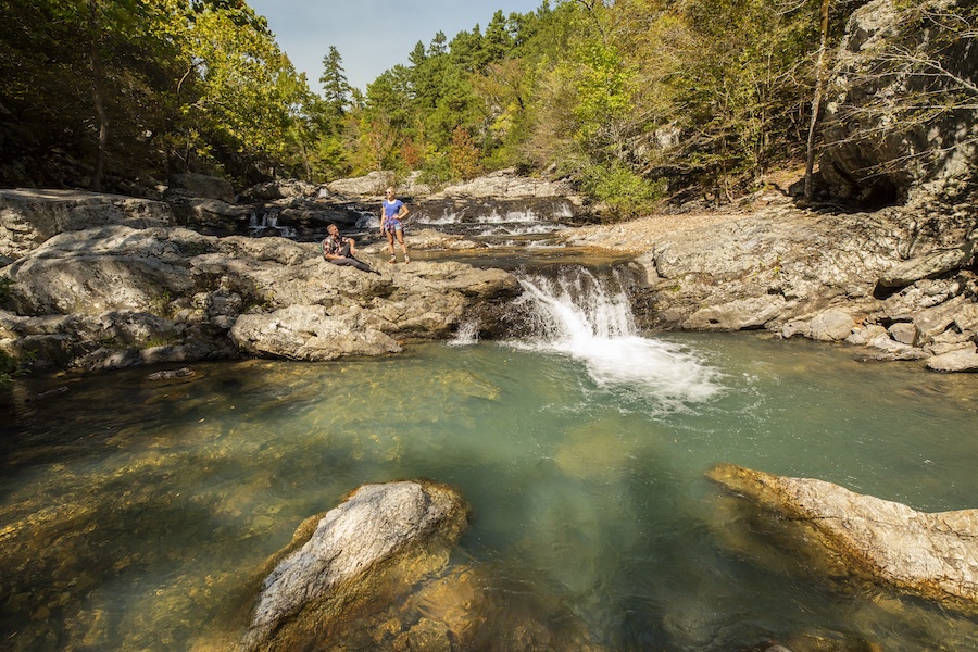
Near Hagarville, Haw Creek Falls is the small, easily accessible waterfall right by the Haw Creek Falls Campground. It’s shallow, wide, and drops over a ledge just steps from the parking area.
Pack Rat Falls, a taller, more picturesque cascade, is tucked away in a narrow canyon about 0.25 miles from the campground. The rugged trail is unmarked but well-worn and popular with campers.
Directions: From Hagarville, take AR 123 north for 14 miles. From Pelsor, take AR 123 west for 12 miles.
Stay nearby: Haw Creek Falls Recreation Area is surrounded by a beautiful mature hardwood forest, is near Big Piney Wild and Scenic River and offers access to the Ozark Highlands Trail. It has nine rustic family units. Camping trailers are allowed, but no special facilities are available.
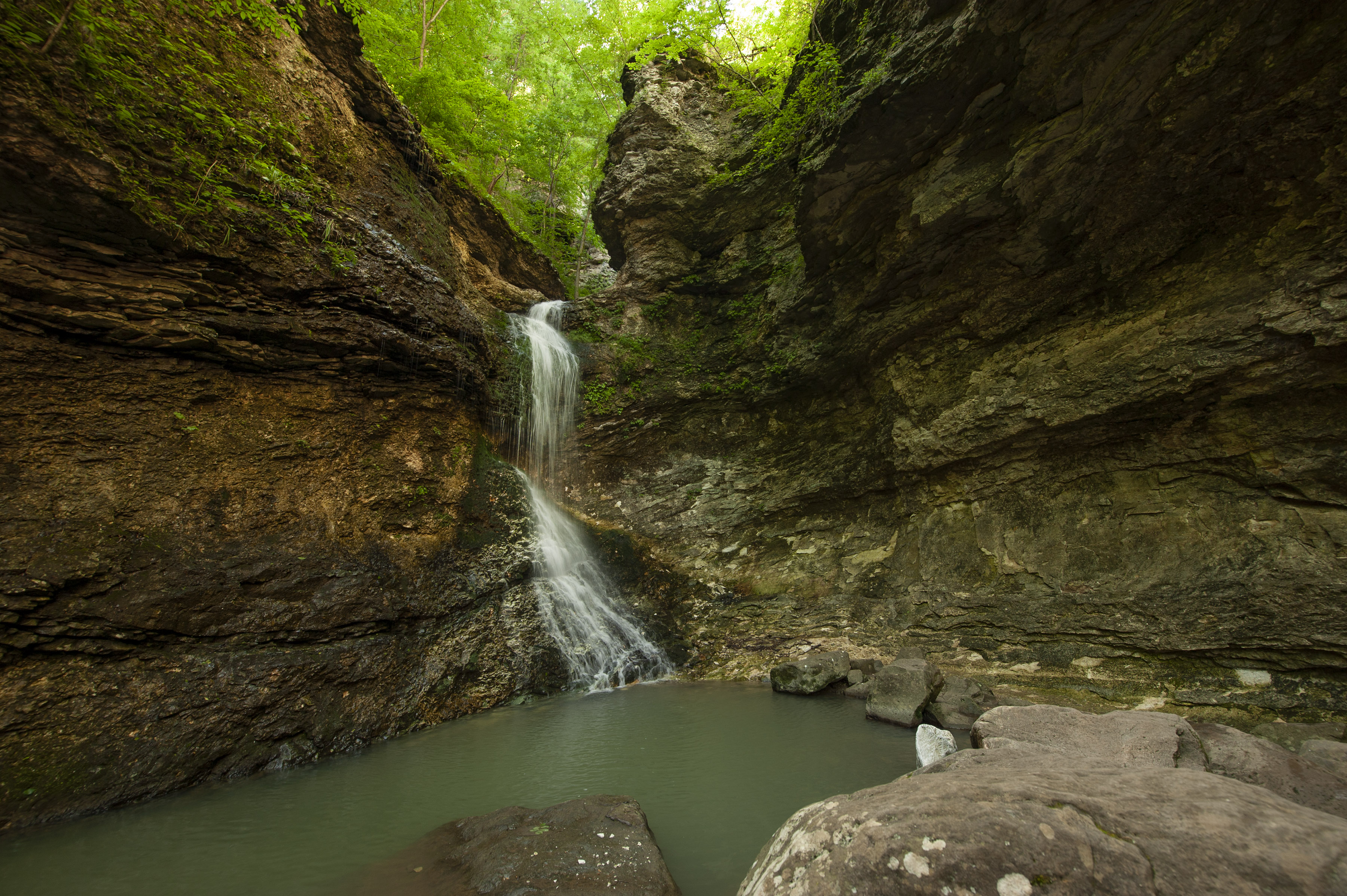
A stunning 53-foot waterfall is located within the Lost Valley Trail area of the Buffalo National River in Boxley Valley.
Directions: On AR 43 between Boxley and Ponca, turn onto the road leading to Lost Valley, a unit of the Buffalo National River. Park at the end of the road and follow the signed trail to the bluff shelter. Eden Falls is located at the far end of the massive overhang.
Stay Nearby: Azalea Falls Lodge is a secluded 3,000-square-foot home constructed of rock, glass, and redwood. Surrounded by expansive decks and patios, the lodge overlooks two waterfalls and offers access to woodland trails.
A beautiful, roadside waterfall that's easily accessible and often used as a quick photo or picnic stop in this remote area near Witts Springs.
Directions: At junction of AR 7 and 16 at Pelsor, turn east onto AR 16 to Ben Hur. Continue south for about 1.5 miles to Forest Service Road 1205. Turn east onto this road and go about 3 to 4 miles. You'll be following Falling Water Creek and will come upon the falls to your right—easily visible from the road. Continue another 6 to 8 miles on this road, to reach Richland Creek Campground, a trailhead for trips to Richland Falls and Twin Falls.
Stay nearby: Buffalo River Outfitters offers cozy log cabins and easy access to hiking, paddling, and scenic drives in the heart of the Ozarks.
Tucked deep in the Ozark National Forest, Richland Falls offers a wide, gentle cascade, while Twin Falls spills in dramatic tiers just upstream. More than 30 waterfalls have been cataloged in the Richland Creek watershed. There’s even a Richland Waterfall Welcome Center in Witts Springs.
Directions: From I-40 at Russellville, go 36 miles north on AR 7 to Pelsor. Turn east onto AR 16 and drive about 10 miles to Forest Service Road 1205. Turn north and continue about 8 miles to Richland Creek Campground. Park at the lower campground and head west, immediately crossing Falling Water Creek. Hike the Richland Creek Trail for about 2 miles to the confluence of Devil’s Fork Creek. Continue straight for 1/4 mile. Twin Falls is 1/4 mile up Devil’s Fork; Richland Falls is another 1/4 mile up Richland Creek. A topographic map is recommended for this hike.
Stay Nearby: Richland Creek Campground offers primitive camping units nestled along the picturesque Richland Creek.
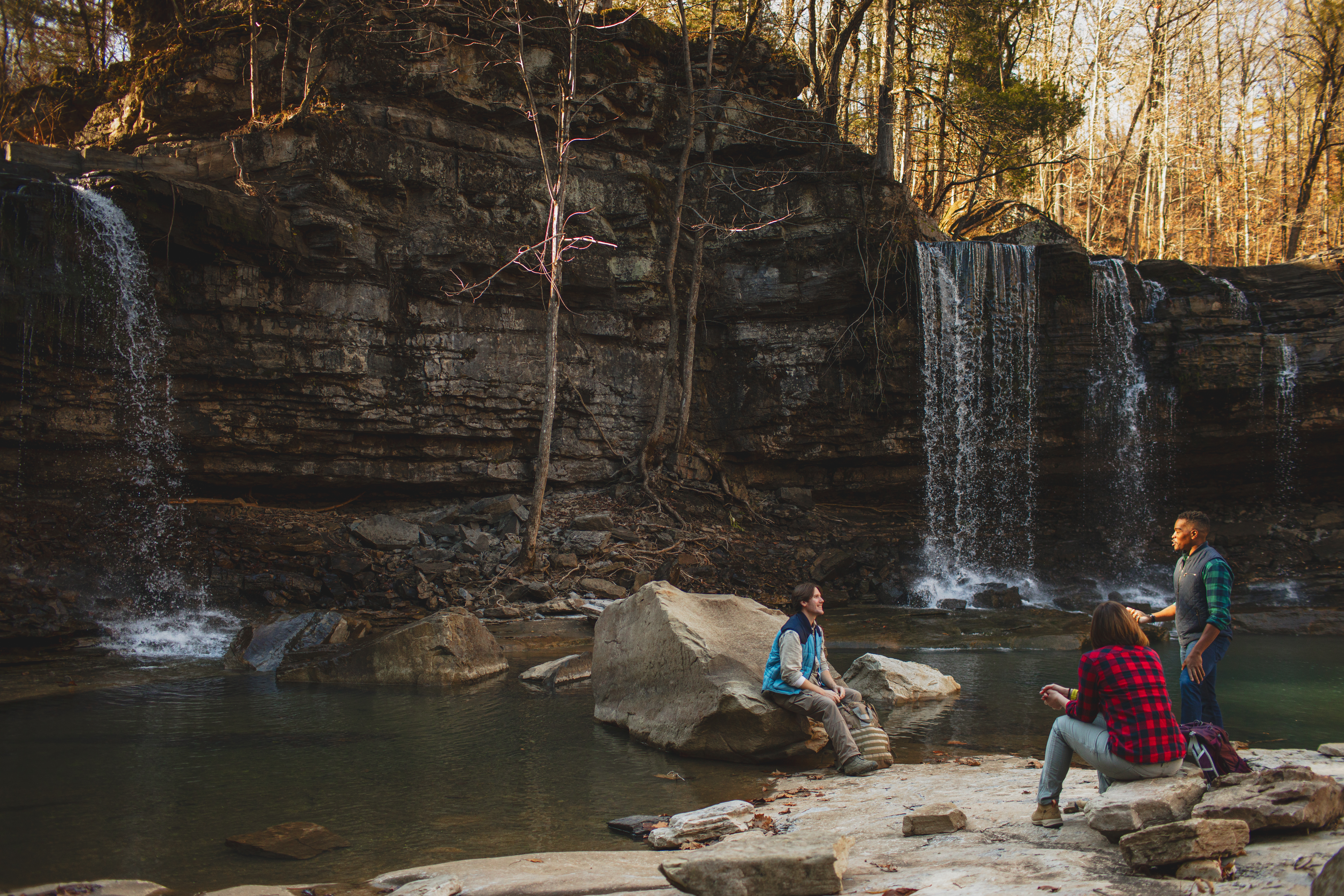
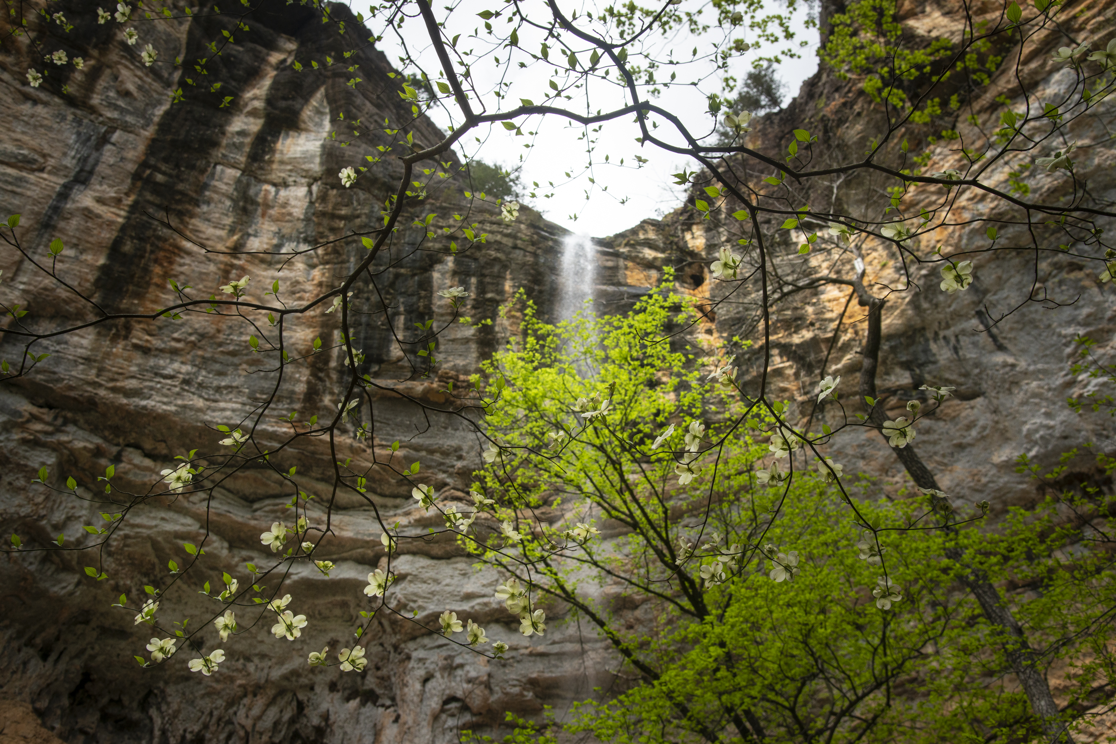
Standing at 209 feet, this waterfall is the tallest between the Rockies and the Appalachians. It is located within the upper Buffalo National River area.
Directions: Take AR 43 North from Ponca to Compton (about 9 miles) and turn right onto a gravel road marked by a wooden sign that says “Wilderness Access.” About a block later take a hard right. Drive for about a mile until you see another wooden sign marking the right-hand turn to the Hemmed-In Hollow trailhead. Alternatively, the falls can be accessed via the river from a canoe.
Stay nearby: The cabins at Buffalo Outdoor Center are one of the best launch points for waterfall hikes and float trips.
The National Wild and Scenic Cossatot River forms Cossatot Falls, a rugged and rocky canyon renowned for its challenging Class IV rapids and scenic beauty.
Directions: Near Umpire, the falls can be reached via Weyerhaeuser Road #52200, which runs between AR 4 and 246 on the east side of the river. From Road 52200, turn west onto 52600, which leads to Cossatot Falls.
Stay Nearby: Cossatot River State Park-Natural Area offers primitive tent camping sites at multiple areas, including the Cossatot Falls Area, Sandbar Area, and Ed Banks Area, all providing close proximity to the river and its natural beauty.
In Hot Springs, this charming waterfall is located along the Falls Branch Trail within Lake Catherine State Park.
Directions: From I-30 (Exit 97) near Malvern, go north 12 miles on AR 171, which dead-ends at Lake Catherine State Park. Follow signs to the Falls Branch Trail. The waterfall is about a 1/4 mile from the trailhead.
Stay Nearby: Lake Catherine State Park has cabins and campgrounds that make a perfect base for exploring the waterfall and surrounding forest.
Twin Falls
Near Jasper, this double waterfall becomes particularly impressive (sometimes triple) after ample rainfall. The out-and-back trail is approximately 0.5 miles roundtrip.
Directions: From AR 74 East toward Jasper, turn left onto gravel CR 2300. Drive one mile. Turn right onto CR 2306. Continue down this steep road (AWD recommended) for 1.8 miles and cross a small slab; parking is on the right.
Stay Nearby: Just a few miles from the trailhead, the Wilderness Rider Buffalo Ranch & Adventure Park is a rustic property offering cabins and campsites with sweeping views of the Ozark wilderness.
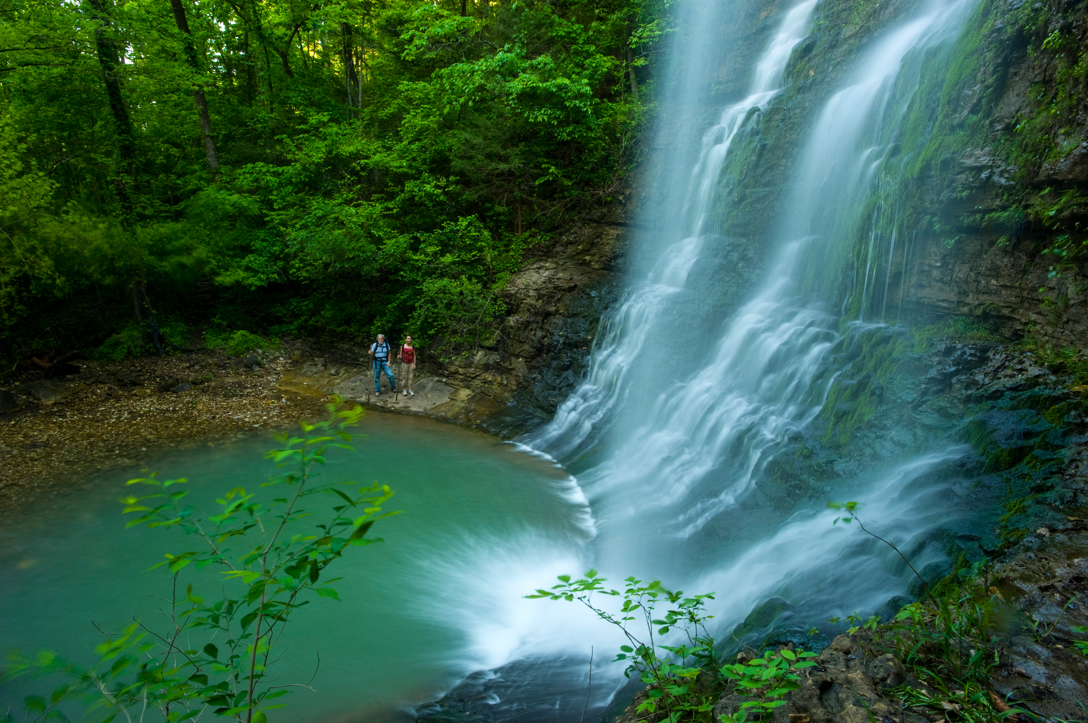
Near the small town of Fifty-Six, Mirror Lake Waterfall spills gracefully from a stone dam into a deep, clear pool, fed by the constant 58-degree flow from Blanchard Springs Caverns.
Directions: From Mountain View, take AR 14 West for 12.1 miles. Turn right (north) at the Blanchard Springs Caverns sign and follow signs to Mirror Lake.
Stay Nearby: The Cabins at Dry Creek at the Ozark Folk Center State Park in Mountain View offer a great escape of modern comforts nestled within the Ozark Mountains.
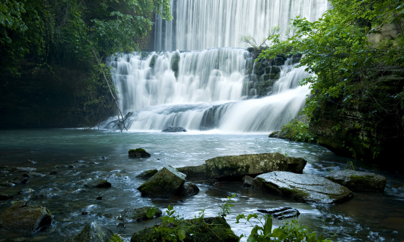
Tucked inside Petit Jean State Park near Morrilton, Cedar Falls plunges 95 feet into a canyon carved by Cedar Creek. It’s one of Arkansas’ most photographed waterfalls—especially striking during spring runoff.
Directions: From Morrilton, take AR 154 west to the Petit Jean State Park entrance. Follow signs to the Cedar Falls Trailhead near Mather Lodge. The trail is a 2-mile round trip with some elevation change.
Stay Nearby: Mather Lodge at Petit Jean State Park offers rooms with bluff views and direct access to the Cedar Falls Trail.
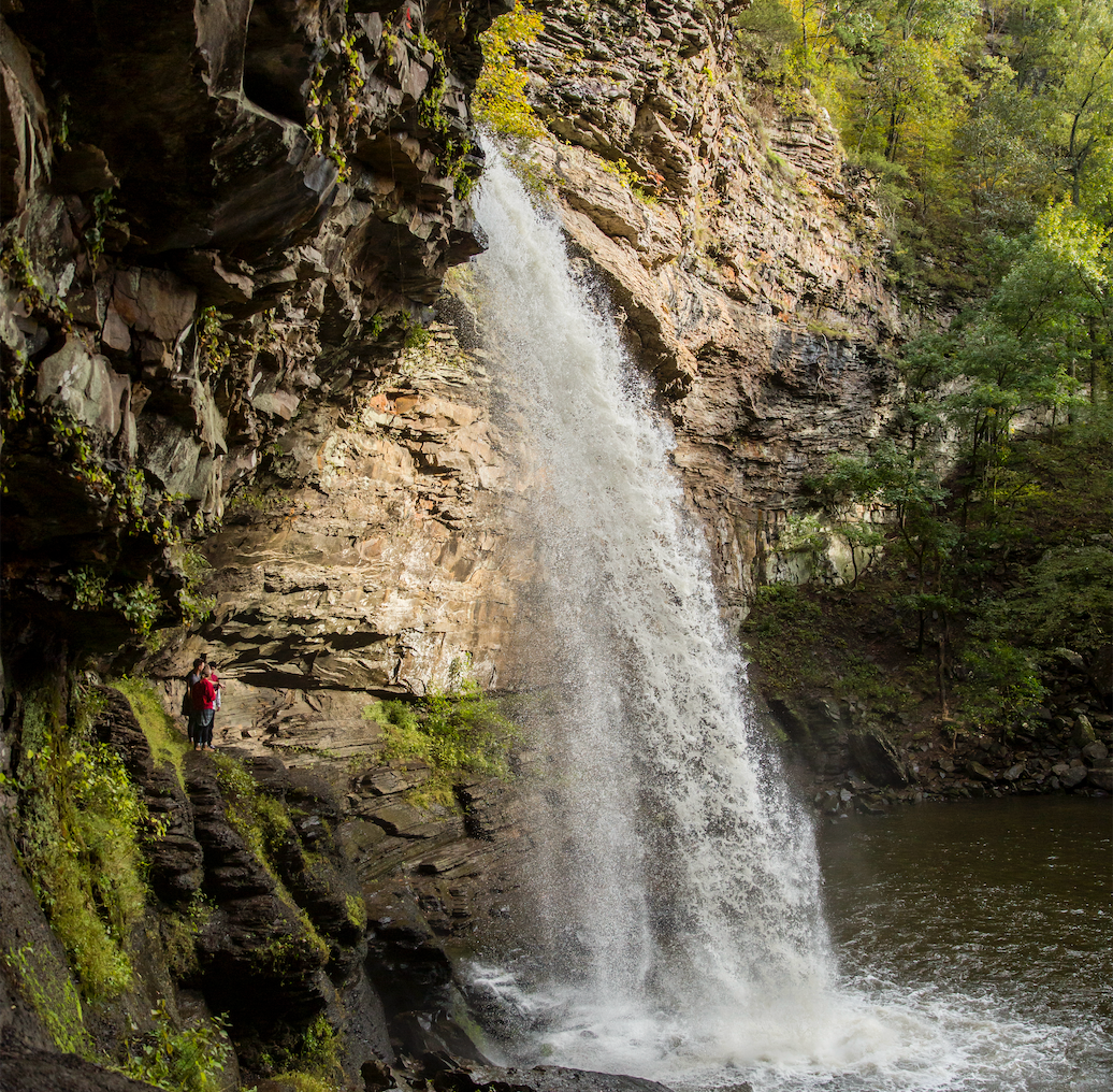
Near Ozone, this unique waterfall pours through a cylindrical opening eroded through rock, creating a captivating sight for hikers willing to trek the approximately 2-mile round-trip trail.
Directions: From Boxley, take AR 21 south for about 6 miles. Look for a small pull-off on the right side of the highway near a trail marker (no official sign). The trail descends through forest and crosses streams before reaching the falls.
Stay Nearby: About 15 miles away is Horsehead Lake Lodge, home to a secluded lodge, waterfall cabins, and glamping cabins. Situated along the spillway of Horsehead Lake on Horsehead Creek, this property has an on-site waterfall to set the tone for the rest of your waterfall hunting.
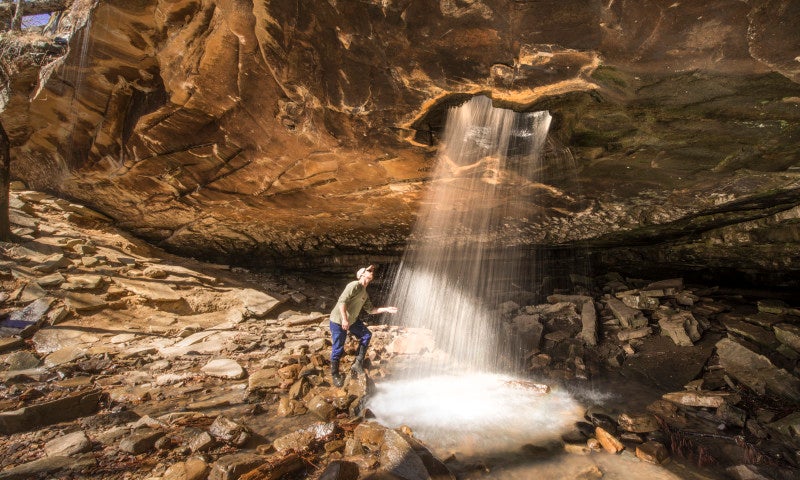
Located near Caddo Gap, this beautiful waterfall is accessible via a short hike within the Caney Creek Wildlife Management Area.
Directions: From Norman, take AR 8 West for 12.7 miles, then turn left onto Forest Road #43. Continue for 3.3 miles and park along the side of the road; the falls will be down to your left.
Stay Nearby: Fancy Hill Cabins and RV offers cozy cabin rentals, campsites for tents and RVs, and an online guide to waterfalls and other points of interest.
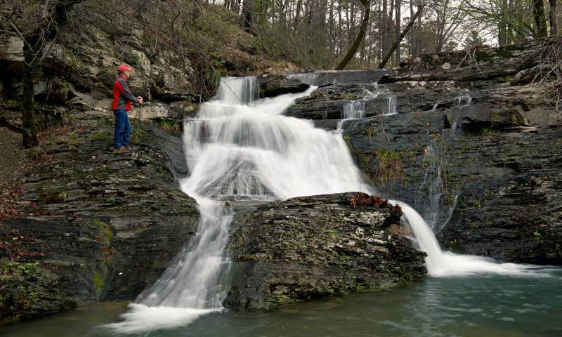
These are just a few of the many falls tucked into the wild corners of Arkansas. Please note that the flow of these waterfalls can vary depending on recent rainfall and seasonal conditions.

