Riding the Iron Mountain Trails
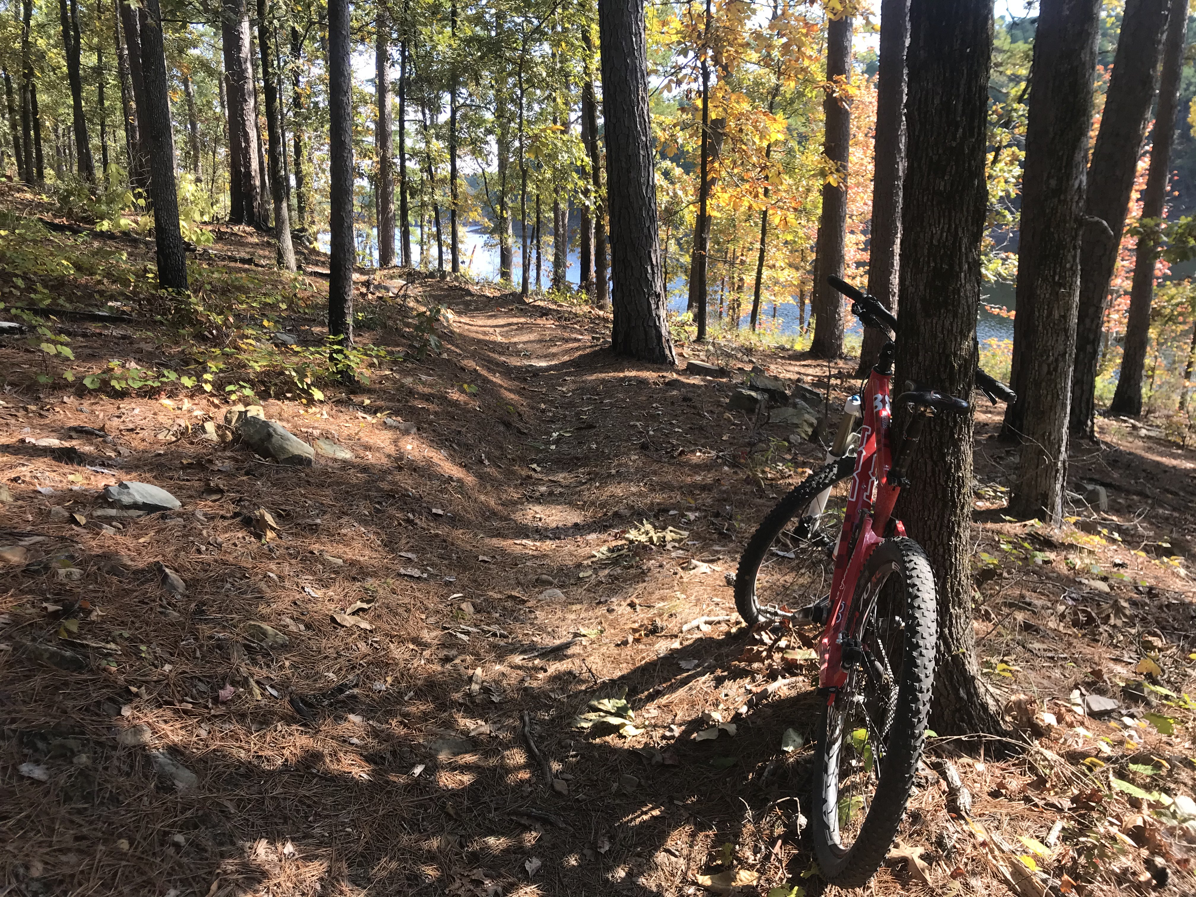
Some of Arkansas' prime mountain biking can be found near Arkadelphia at a trail system known as the Iron Mountain Trails. There are over 24 miles of trail to choose from here in a beautiful forest filled with Arkansas Pine including flow trails, switchbacks and short technical sections that include rock gardens. The trail system, which is also popular with hikers, has been the scene of various off-road events and races, including multiple national championships.

There are multiple trail loops you can take on while here and each route is marked via different colors on trees. For instance, one of my favorites, Clockwork Orange, is marked in orange. Another standout route, the 4.7 miles White Zone, is marked in white and offers many epic views of DeGray Lake as you ride along the route. The trail system is located on the south shore of this famous lake.
The 13,400-acre DeGray Lake you will see while here is a destination in itself and this flood control reservoir was formed by a dam across the Caddo River. The lake has over 200 miles of shoreline and is home to many campsite options to choose from as well as boat-launching ramps on its shores, making it a prime fishing and boating spot. The lake is also home to Arkansas' only resort state park, DeGray Lake Resort State Park, which is located on the north shore of the lake.
On the eastern shore of the lake, you can find Scenic Byway 7, the state's first state-designated scenic byway. The route is beautiful to travel and is one of the most scenic in the nation, running across almost the entire state from north to south. You can get to Hot Springs and Hot Springs National Park by traveling 25 miles north of DeGray on this scenic route and Crater of Diamonds State Park can be found 50 miles southwest of the lake. Both make nice post ride road trip destinations.
