Ride the Arkansas High Country Route
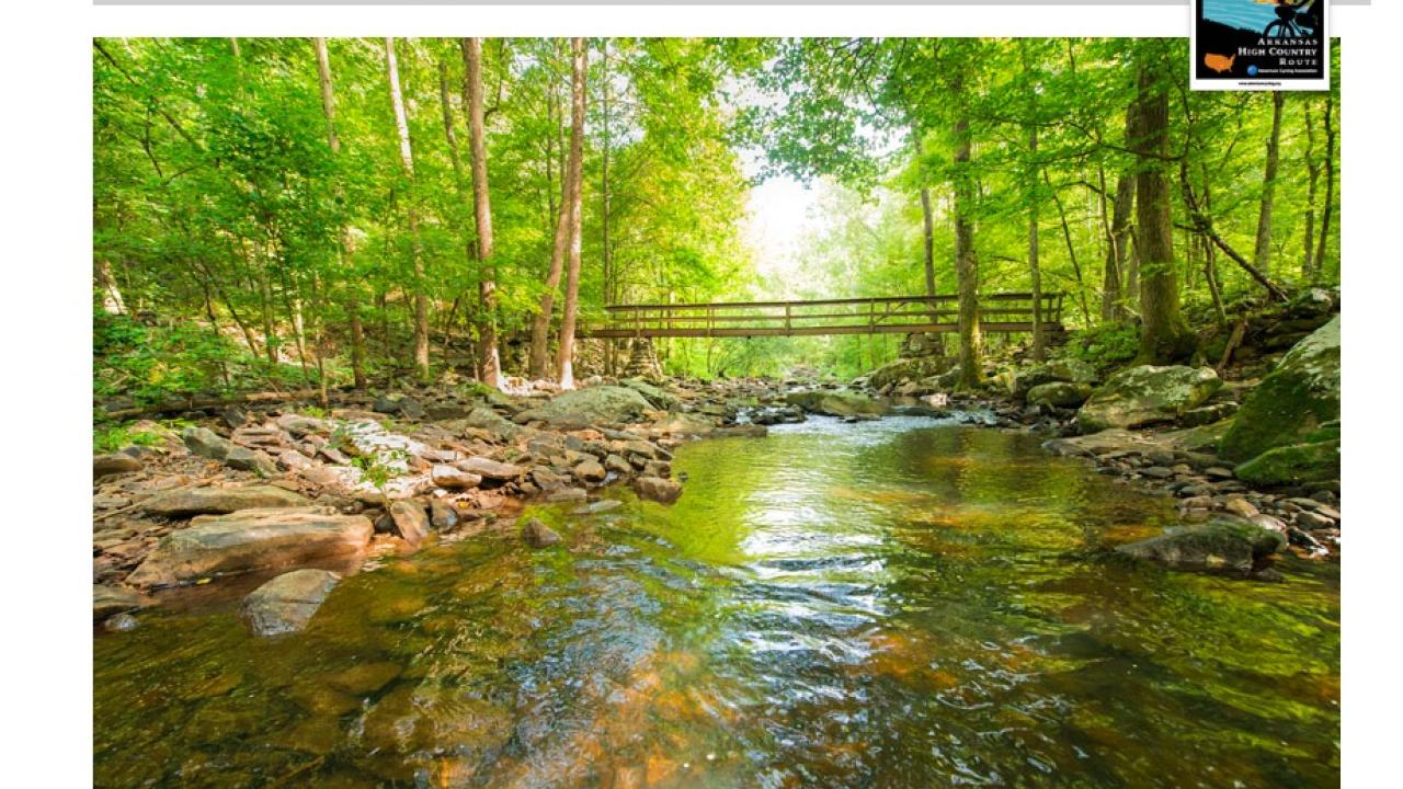
Arkansas is an international mountain biking and cycling destination with a rapidly growing system of standout trails being added across the state. Among this stellar terrain is the Arkansas High Country Route, a route through the Ozark and Ouachita mountains that highlights the beautiful scenery and towns in northern and western Arkansas.
The 1,172-mile mixed-surface route has three interlocking loops that link Little Rock with the Northwest Arkansas corridor around Fayetteville and Bentonville. This cycling route through the Ozark and Ouachita mountains highlights the beautiful scenery and towns of northern and western Arkansas.
According to the Adventure Cycling Association, ‘the route uses two singletrack trails (the entire Lake Ouachita Vista Trail (LOViT), and the southern portion of the Womble Trail) certified by the International Mountain Bicycling Association as “Epic” that provide optional challenges (and passes by three more Epics that aren’t used as part of the route), touches seven state parks, three national parks, and the Buffalo National River. It also passes through 13 Forest Service campgrounds and nine Corps of Engineers parks.’
A rider can choose to ride one or more of the loops or ride the perimeter of all of them. For more details and maps of the route, you can visit the Adventure Cycling Association site at adventurecycling.org or click here.