The Best Fall Drives in the Ozarks
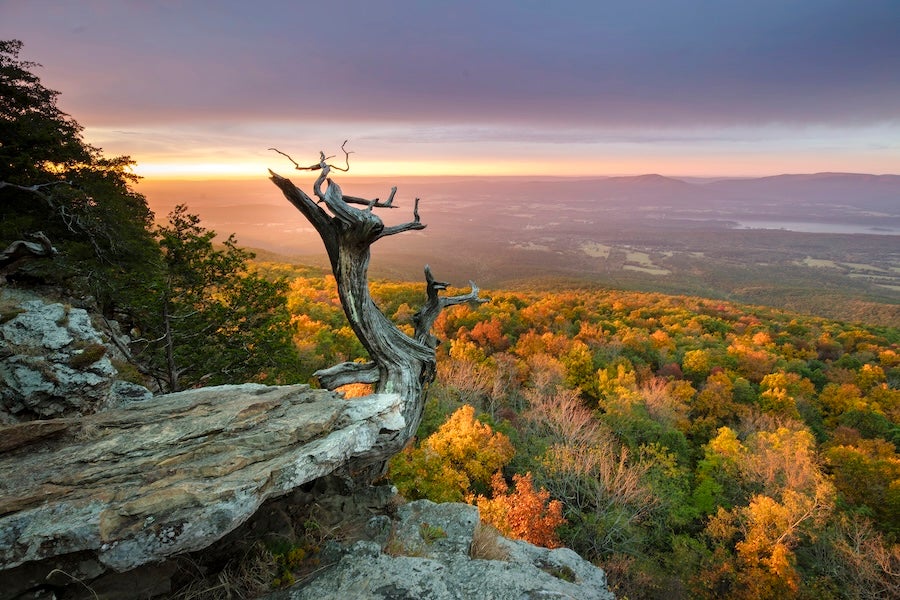
When Arkansas puts on its autumn show, every winding road becomes a front-row seat to nature's most spectacular performance. From the first pop of crimson in the Ozarks to the final golden leaf drop in the Delta, fall unfolds in layers, region by region.
Typically, color change begins in early October. By late October, the Ozarks are at their peak. Central and western Arkansas follow closely, with the southern and eastern parts of the state reaching their most vivid tones in early to mid-November. Year-to-year color depends on heat, rainfall, and timing of the first autumn cold snap, so a little flexibility is smart.
Sign up for Arkansas Tourism’s seasonal emails to receive fall color reports across the state and trip planning information.
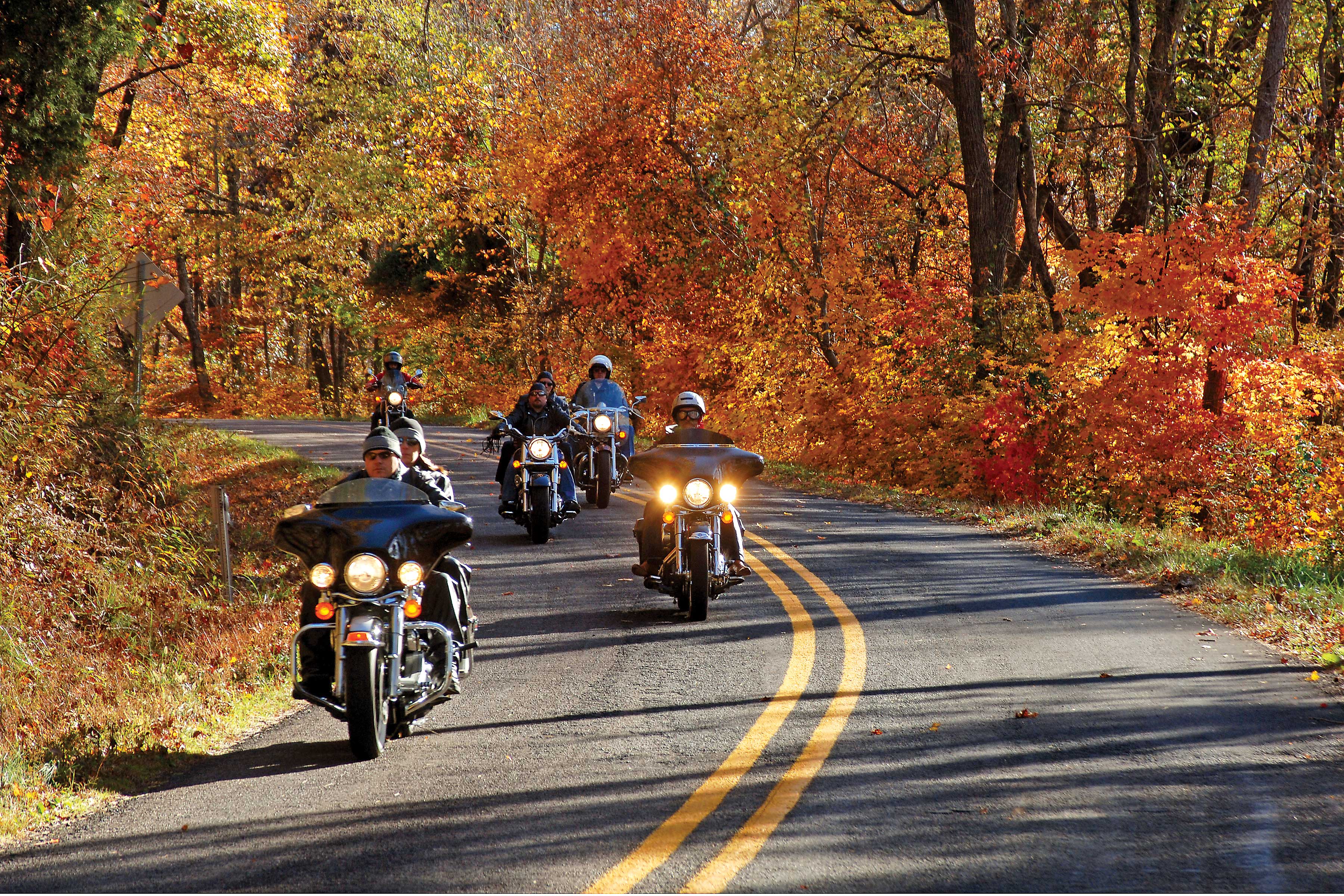
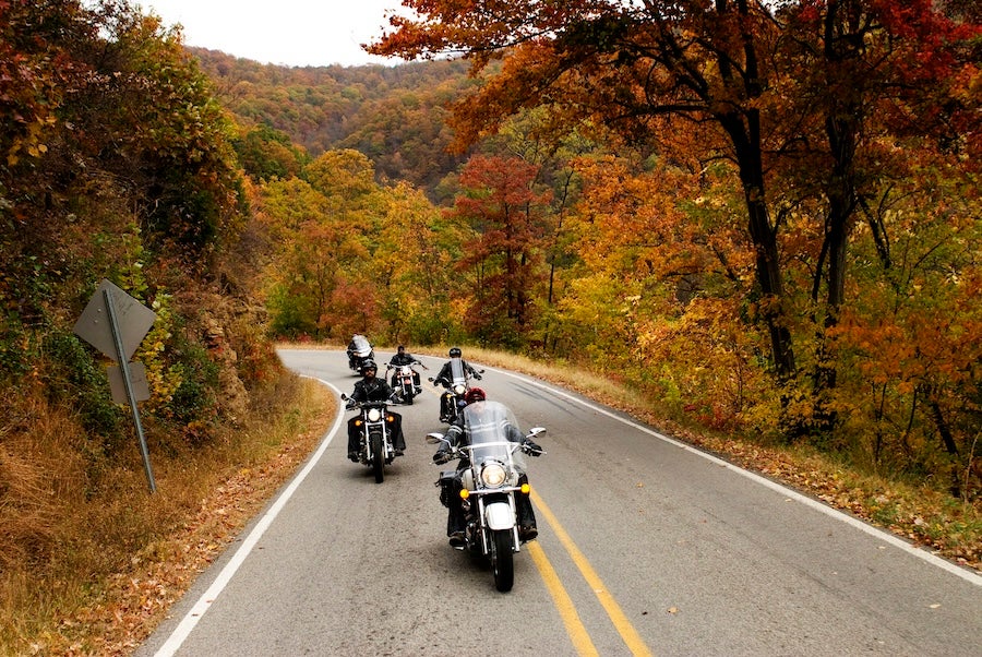
If you're starting your journey in the Ozarks, these scenic drives feel like moving through a living painting, where the brushstrokes move with the wind:
Boston Mountains Scenic Loop/U.S. 71 and I-49

Two very different roads crossing the highest part of the Ozark Mountains combine to make the Boston Mountains Scenic Loop.
U.S. 71 rises and falls, twists and turns through the mountain landscape, allowing travelers to experience the rugged terrain intimately. Not far to the west, Interstate 49 passes over the mountains, streams, valleys and ridges with several soaring bridges and a tunnel.
Both routes offer impressive mountain vistas.
LENGTH: U.S. 71, 42 miles; I-49, 38 miles.
THINGS TO KNOW: Shopping, lodging and dining are available in Alma at the southern end of the loop and Fayetteville at the north end. Cabins and camping are available near the loop at Devil's Den State Park, at White Rock Mountain Recreation Area and at Lake Fort Smith State Park.
Pig Trail Scenic Byway/Ark. 23

The rugged and forested Boston Mountains region of the Ozark Mountains provides the setting for this route, which often runs through a tunnel of foliage during spring, summer and fall. Spring wildflowers and brilliant autumn foliage make the route especially popular during those seasons. The route crosses the Mulberry River and the 165-mile Ozark Highlands Trail.
LENGTH: Ark. 23, 19 miles from the south boundary of the Ozark National Forest to its intersection with Ark. 16 at Brashears.
THINGS TO KNOW: Shopping, lodging and dining are available in Ozark near the southern end of the route and Fayetteville to the northwest. Cabins and camping are available on the byway at Turner Bend and nearby at the White Rock Mountain Recreation Area, which offers dramatic views of the surrounding Ozarks from atop the 2,260-foot peak. Other Ozark National Forest campgrounds in the area are Shores Lake and Redding.
Ozark Highlands Scenic Byway/Ark. 21
The Ozark Highlands Scenic Byway passes through a rugged section of the forested Boston Mountains region of the Ozarks where five important recreational streams begin: the White, a world-class trout stream; the Buffalo, the country’s first national river; the Kings; and the Mulberry rivers; and Big Piney Creek. The byway crosses the 165-mile Ozark Highlands Trail, a hiking and camping trail that travels through the Ozark National Forest to the Buffalo National River.
LENGTH: 35 miles, Ark. 21 north of Clarksville as Ark. 21 crosses the southern boundary of the Ozark National Forest and continues until Ark. 21 exits the forest near the Buffalo National River.
THINGS TO KNOW: Shopping, lodging and dining are available to the south at Clarksville and to the north at Jasper. Lodging is also available at Ponca and Kingston. Camping is available at the Ozone and Haw Creek Falls recreational areas in the Ozark National Forest.
Arkansas Scenic 7 Byway
Arkansas’ first state-designated scenic byway travels through four of the state’s varied geographical regions. The route begins on the south end within the West Gulf Coastal Plain near El Dorado. Near Arkadelphia, the route enters the Ouachita Mountains, then reaches Russellville and crosses the more level terrain of the Arkansas River Valley.
Leaving the valley, Scenic 7 ascends into the Ozark Mountains, famous for fall foliage, and the Ozark National Forest, and passes through the mountain town of Jasper on its way to Harrison.
LENGTH: 290 miles.
THINGS TO KNOW: Shopping, lodging and dining can be found in the byway's major cities: El Dorado, Camden, Arkadelphia, Hot Springs, Russellville, Jasper and Harrison, and in smaller communities along the way. Lodges, cabins and campgrounds are available in the various state parks and camping is also available at U.S. Forest Service recreation areas within the Ouachita and Ozark national forests and at U.S. Army Corps of Engineers' recreation areas on DeGray Lake, Lake Nimrod and Lake Dardanelle on the Arkansas River. Private resorts, cabins and other lodging, as well as dining options, are also available.
Ark. 309/Mount Magazine Scenic Byway

From Havana, the Ark. 309/Mount Magazine Scenic Byway quickly begins its ascent through the forests on the slopes of Mount Magazine, the highest peak in Arkansas at 2,753 feet. Here, you’ll also find Mount Magazine State Park.
The byway descends more than 2,300 feet to the town of Paris, passing the picturesque Cove Lake on the way. Further North, the byway travels through rolling pastureland and hayfields, dotted with hardwood shade trees and occasional natural gas wells until it reaches Webb City.
LENGTH: 45 miles, beginning at Ark. 10 in Havana, the route travels north on Ark. 309 to Ark. 23 at Webb City (state designation). Included are 24.9 miles located within the Ozark National Forest designated by the U.S. Forest Service as the Mount Magazine Scenic Byway.
THINGS TO KNOW: Shopping, lodging and dining are available in Paris on the route and Ozark near the north end. Camping is available on the route at Mount Magazine State Park (which also has a lodge and cabins), in the Ozark National Forest at the Cove Lake Recreation Area, and at the U.S. Army Corps of Engineers' Aux Arc Park on the Arkansas River. South of the route, Waveland Park, a U.S. Army Corps of Engineers' recreation area on Blue Mountain Lake also offers camping.
