


The rugged and forested Boston Mountains region of the Ozark Mountains provides the setting for this route, which often runs through a tunnel of foliage during spring, summer and fall. Spring wildflowers and brilliant autumn foliage make the byway a favorite for many. The route crosses paths with the Mulberry River and the 165-mile Ozark Highlands Trail.
LENGTH: Ark. 23, 19 miles from the south boundary of the Ozark National Forest to its intersection with Ark. 16 at Brashears.
THINGS TO KNOW: Shopping, lodging and dining are available in Ozark near the southern end of the route and Fayetteville to the northwest. Cabins and camping are available on the byway at Turner Bend and nearby at the White Rock Mountain Recreation Area, which offers dramatic views of the surrounding Ozarks from atop the 2,260-foot peak. Other Ozark National Forest campgrounds in the area are Shores Lake and Redding.
Ozark Highlands Scenic Byway/Ark. 21
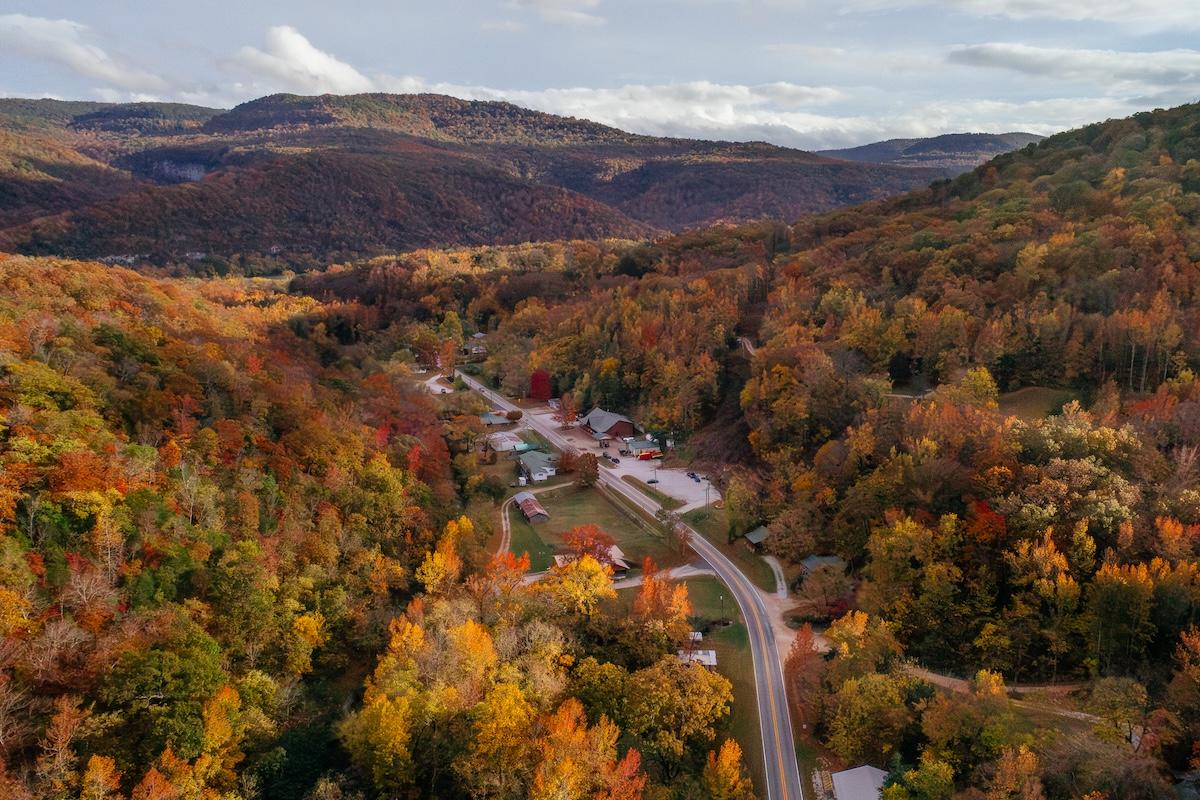
Ponca, near Buffalo National River
The Ozark Highlands Scenic Byway passes through a rugged section of the forested Boston Mountains region of the Ozarks where five important recreational streams begin: the White, a world-class trout stream; the Buffalo, the country’s first national river; the Kings; and the Mulberry rivers; and Big Piney Creek. The byway intersects the 165-mile Ozark Highlands Trail, a hiking and camping trail that travels through the Ozark National Forest to the Buffalo National River.
LENGTH: 35 miles, Ark. 21 north of Clarksville as Ark. 21 crosses the southern boundary of the Ozark National Forest and continues until Ark. 21 exits the forest near the Buffalo National River.
THINGS TO KNOW: Shopping, lodging and dining are available to the south at Clarksville and to the north at Jasper. Rural lodging is found at Ponca and Kingston. Ozone and Haw Creek Falls recreational areas in the Ozark National Forest have camping options.
Arkansas Scenic 7 Byway
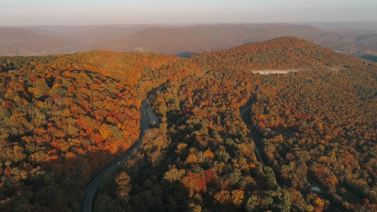
Arkansas Scenic Byway 7
Arkansas’ first state-designated scenic byway travels through four of the state’s varied geographical regions. The route begins on the south end within the West Gulf Coastal Plain near El Dorado. Around Arkadelphia, the route enters the Ouachita Mountains, then reaches Russellville as it crosses the more level terrain of the Arkansas River Valley.
Leaving the valley, Scenic 7 ascends into the Ozark Mountains, famous for fall foliage, and the Ozark National Forest. It passes through the mountain town of Jasper on its way to Harrison.
LENGTH: 290 miles.
THINGS TO KNOW: Shopping, lodging and dining can be found in the byway's major cities: El Dorado, Camden, Arkadelphia, Hot Springs, Russellville, Jasper and Harrison, and in smaller communities along the way. Lodges, cabins and campgrounds are available in various state parks, at U.S. Forest Service recreation areas within the Ouachita and Ozark national forests and at U.S. Army Corps of Engineers' recreation areas on DeGray Lake, Lake Nimrod and Lake Dardanelle on the Arkansas River. Private resorts, cabins and other lodging, as well as dining options, are plentiful along the route.
Ark. 309/Mount Magazine Scenic Byway
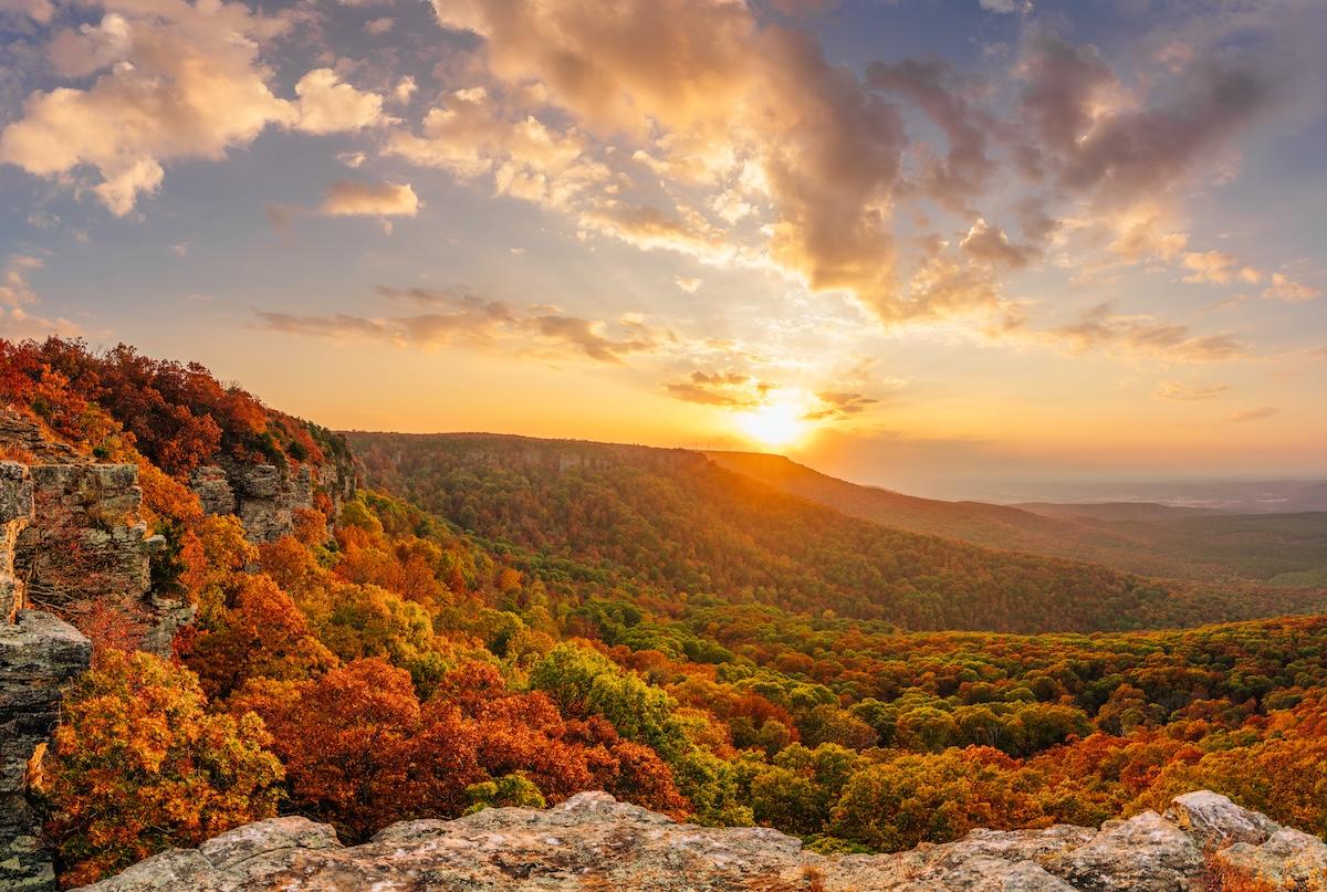
View from Mount Magazine
From Havana, the Ark. 309/Mount Magazine Scenic Byway quickly begins its ascent through the forests on the slopes of Mount Magazine, the highest peak in Arkansas at 2,753 feet. Here, you’ll also find Mount Magazine State Park.
The byway descends more than 2,300 feet to the town of Paris, passing picturesque Cove Lake on the way. Further North, the byway travels through rolling pastureland and hayfields, dotted with hardwood shade trees and occasional natural gas wells until it reaches Webb City.
LENGTH: 45 miles, beginning at Ark. 10 in Havana, the route travels north on Ark. 309 to Ark. 23 at Webb City (state designation). Included are 24.9 miles located within the Ozark National Forest designated by the U.S. Forest Service as the Mount Magazine Scenic Byway.
THINGS TO KNOW: Shopping, lodging and dining are available in Paris and Ozark, near the north end. Mount Magazine State Park, located on the mountain peak, has camping, cabins, a lodge and a restaurant. Campgrounds by lakes and rivers are easily accessible at Cove Lake Recreation Area in the Ozark National Forest, at the U.S. Army Corps of Engineers' Aux Arc Park on the Arkansas River, and south of the byway at Waveland Park, a U.S. Army Corps of Engineers' recreation area on Blue Mountain Lake.


